


Vazhani Irrigation Project
The Vazhani Project consists of an earth dam across the Wadakkanchery river a tributary of Kechery river, originating from Machad Hills in the Western Ghats. This project has a catchment area of 20.72 sq.km and a network of canal systems to irrigate a total ayacut of 4,313 Ha. of land in Thalappilly,Kunnamkulam and Thrissurtaluks in Thrissur District.
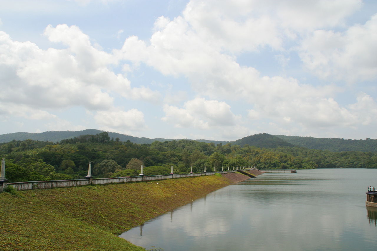
An earth dam 792.48 m long is constructed across the Wadakkanchery river, connecting the hills on either side, with protective revetment in front and of turfing in the rear, which gives a pleasing appearance. Reinforced cement concrete conduit supply sluices regulated from the top of masonry wells in front, are provided on both flanks. A masonry spillway of 4 spans each 6.62 m long with steel shutters 2.65 m height, total length of spillway 31.09m and is built on natural rock on the left bank.
The canal networks starts from the left bank of the dam. The canal takes on as left bank main canal at 100 m downstream, with one outlet to the Wadakkanchery River, which acts as Right Bank System to feed an ayacut of 2200 Ha. The main canal runs as left bank main canal to feed an ayacut of 2113 Ha. The distribution system consists of a LBMC which is 39.20 km long with 3 branch canals and a network of distributaries.