


Walayar Irrigation Project
Walayar reservoir is situated in Palakkad District very close to Tamil Nadu boundary. Walayar is nearly 24 km away from Palakkad Town and almost the same distance away from Coimbatore in Tamil Nadu. The reservoir is located at a longitude between 760 42’ 76.50” East and latitude between 100 43’ 10.52” North and is on the right side of N.H 47 at 182 km and then by project road 1.50km to the dam site.
Walayar project is one of the medium projects of Kerala. This project includes the one reservoir namely Walayar and Anicuts namely Nettu Iyer, Vadassery , Koundan, Nellissery, Thattan, Chalai, Kovilakam, Ponnampillai, Vanaboganam and its canal systems. Nettu Iyer, Vadassery , Koundan, Nellissery Anicuts are coming in the walayar river just downstream of the Walayar reservoir.
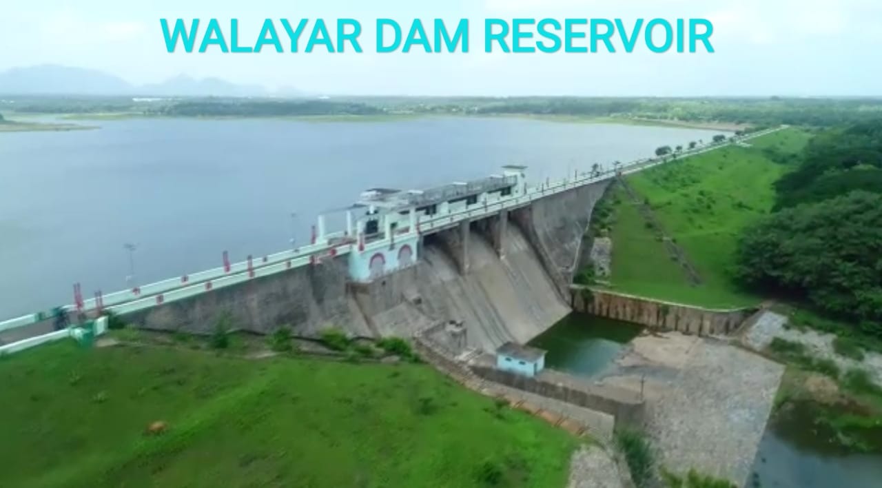
Walayar project consists of a masonry gravity dam flanked by an earthen dam on either side for a length of 1478 M with masonry dam including spillway portion of 150m. The maximum height of the dam is 28.10m. The reservoir has a water spread area of 2.59 square km at FRL.
The total ayacut is 3997 Ha., Ogee type spillway shutters have been provided with 3 Nos(12.00x3.00M ) crest gate of vertical lift type and operating system. The river sluice of 1.50 x 1.80m is provided with lifting arrangements. The main source of water is mainly from rains during south west and northeast monsoon.
| General | |
|---|---|
| State | Kerala |
| District | Palakkad |
| Taluk/Village | Palakkad / Pudussery East |
| Latitude | 10° 43' and 10° 52' North |
| Longitude | 76° 42' and 76° 50' East |
| River | Walayar River (Tributary of Bharathapuzha) |
| Structural Features of the Dam | |
| Type | Masonry dam flanked by earthen dams |
| Top Width | Masonry 3.6m |
| Bottom Width | 21.60m |
| Length | Masonry 150m, Earth 1328m |
| Maximum Height from bed level | 28.105 m |
| Slope- Upstream amp; Downstream | Earth 2.5:1 Masonry 2:1 |
| Hydrological Features of the Dam | |
| Catchment Area | 106.35Sq. KM |
| Probable Maximum Flood | 396.40Cumecs |
| Method of estimating PMF | Current meter method |
| Spillway | |
| Location | Middle portion |
| Type | Ogee |
| Total length | 42m |
| Crest level | +199.95m |
| Design capacity of spillway | 396.40 Cumecs |
| Number, type and sizes of gates | 3 nos. size 12 x 3 m |
| Reservoir Features | |
| Top bank Level | +205.00m |
| Maximum water level | +203.00m |
| Full reservoir level | +203.00m |
| Minimum drawdown level | +188.975m |
| Dead storage capacity | 3.212Mm3 |
| Gross storage capacity | 18.40Mm3 |
| Freeboard over F.R.L | 2.04m |
| Free board over M.W.L | 2.04m |
| Area of reservoir at F.R.L | 2.59 Sq. Km |
| Head Sluice | |
| Sill level | +182.575m and +188.975m |
| Spill Channel | Natural River |